Archaeological Desk-Based Assessment, Camberwell, London
An Archaeological Desk Based Assessment (ADBA) regarding a revised application for proposed residential development Camberwell Church Street, London, comprising the construction of a two-storey extension accommodating two self-contained flats to the rear of the existing building.
In Brief
Key Points
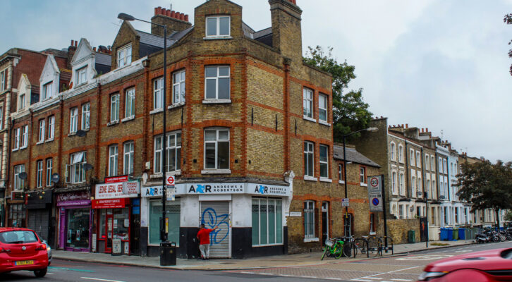
- The site is located within the Archaeological Priority Area associated with Camberwell Green
- The site is located within the Camberwell Green Conservation Area as designated by Southwark Council
Summary
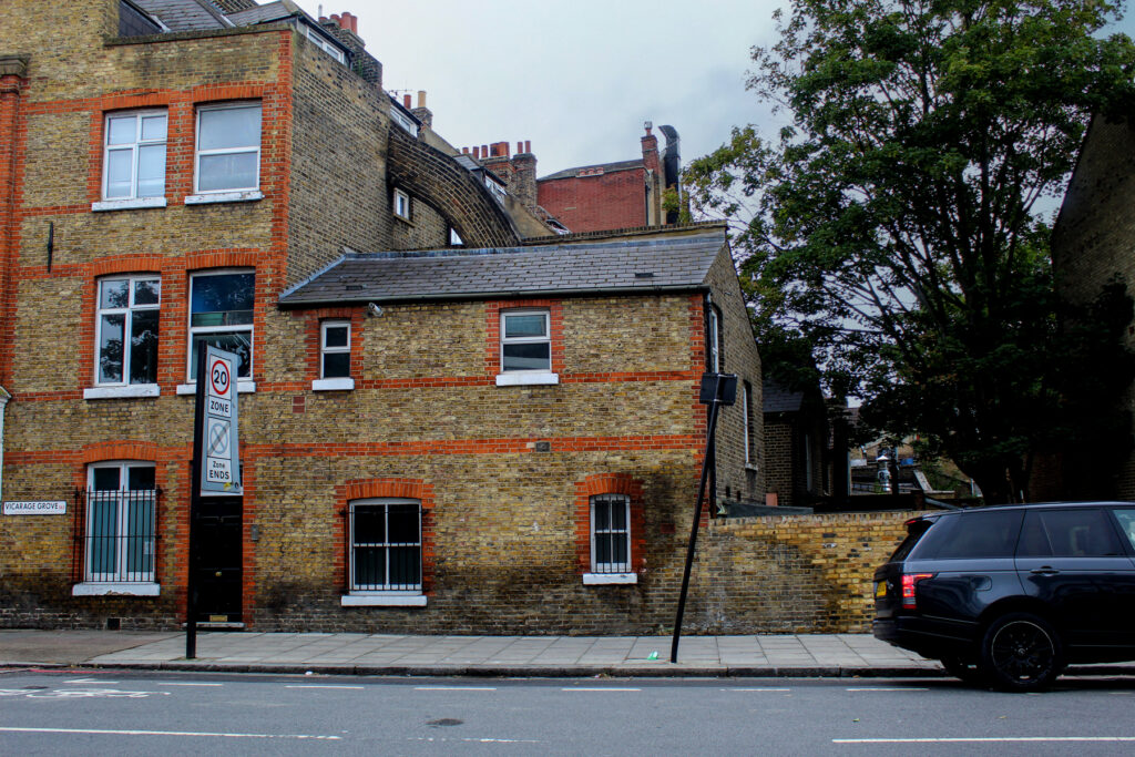
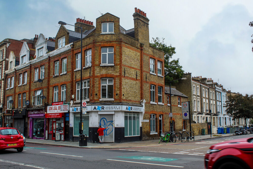
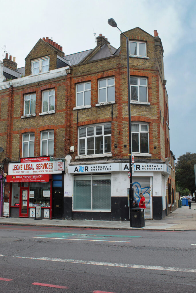
The site lay within the Archaeological Priority Area associated with Camberwell Green and the Camberwell Green Conservation Area.
The site had a low potential for remains of prehistoric date, with moderate potential to encounter archaeological deposits and features of Romano-British date and Medieval date. Previous investigations in the immediate vicinity of the site yielded some evidence of Romano-British activity whilst the close proximity of the site to St Giles Church and the former site of the manor house of Camberwell Buckingham, suggest that some potential to encounter buried archaeological features and deposits associated with medieval occupation in this area.
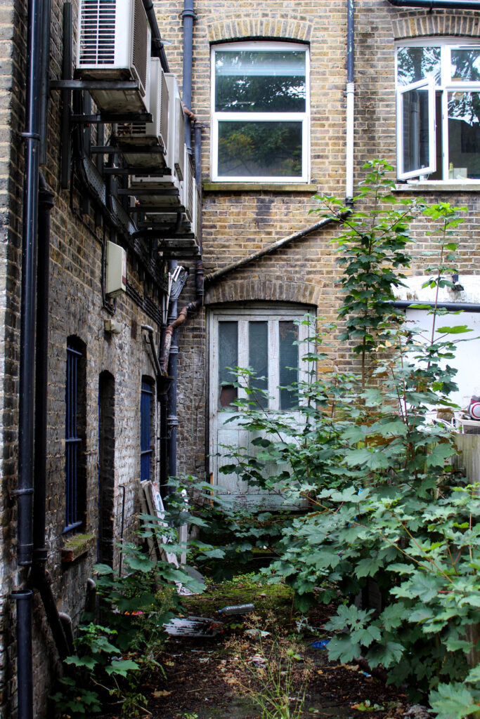
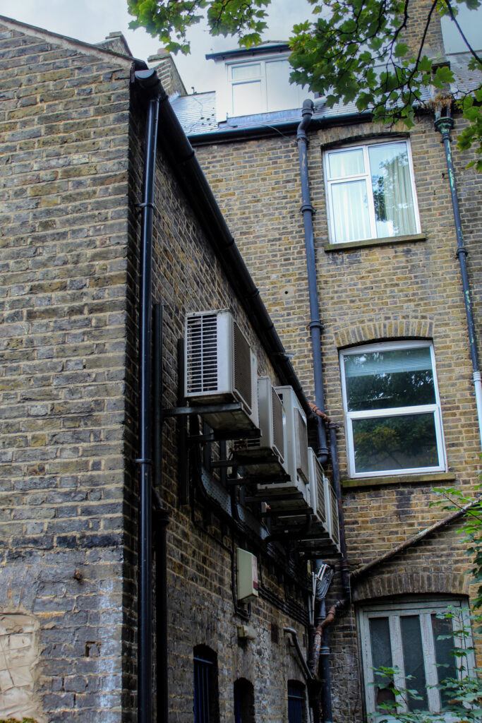
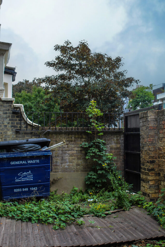
The site had a moderate to high potential to encounter remains of post-medieval date with particular reference to buried structural remains associated with the site of the pre-1850s vicarage associated with St Giles’ Church, which appears to have been located either on or very close to the site. Potential to encounter earlier buried soil horizons of post-medieval date as well as remains of the terrace of mid-19th century houses (formerly known as Stirling Row or Terrace) which occupied the site prior to the construction of the existing buildings c.1880-1890 was also noted.
Results
The overall potential of the site in archaeological terms was assessed as Moderate to High, reflecting the location of the site within the Archaeological Priority Area of Camberwell Green, as well as the potential to encounter buried structural remains of post-medieval date associated with the site of the pre-1850s vicarage associated with St Giles’ Church, which appears to have been located either on or very close to the site, based on the evidence of early to mid-19th century historic mapping, in particular Greenwood’s map of 1830 and the 1842 parish tithe map.