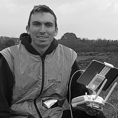
UAV Drone Survey
Unmanned Aerial Vehicle (UAV) technology has revolutionised our approach to the visualisation and modeling of archaeological sites and landscapes.
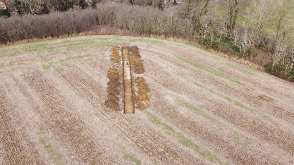
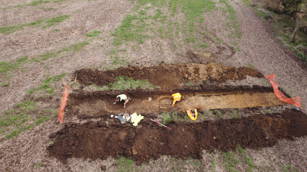
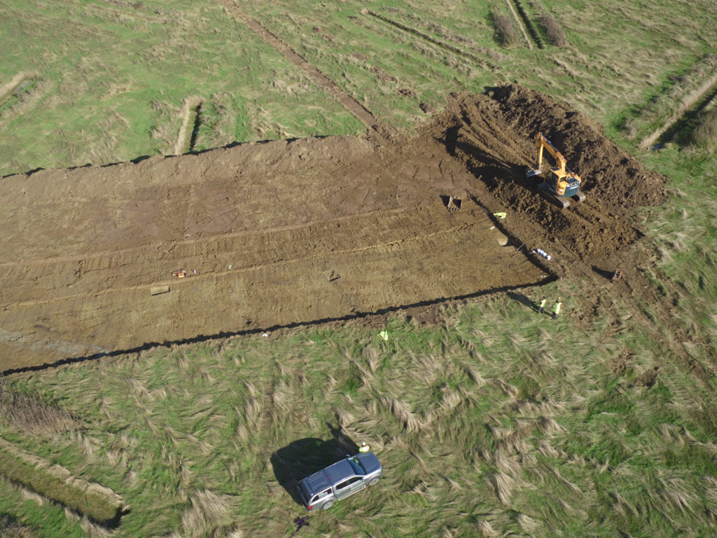
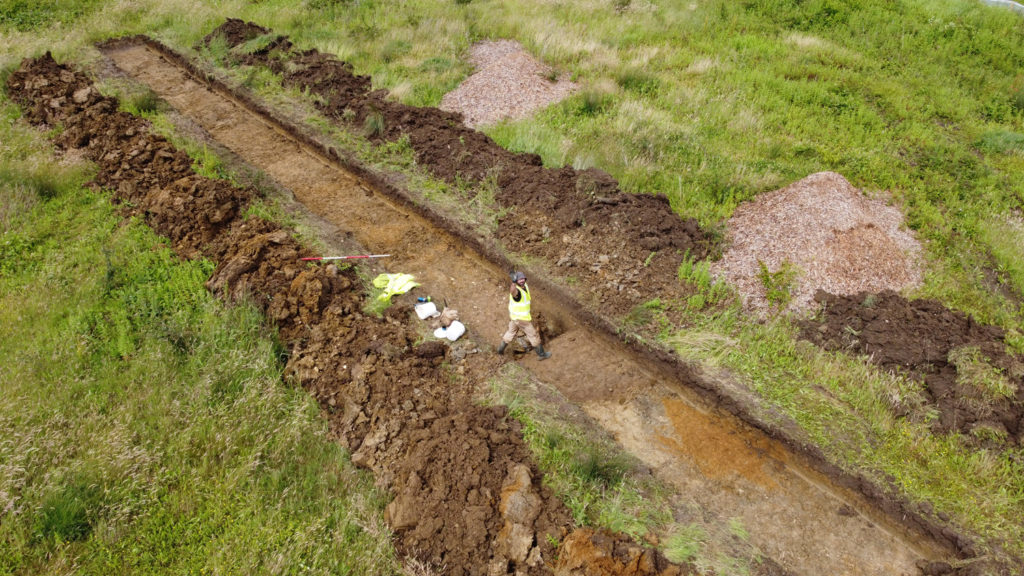
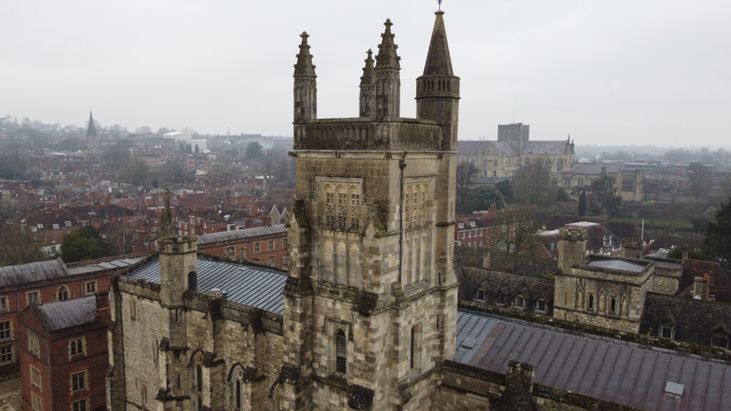
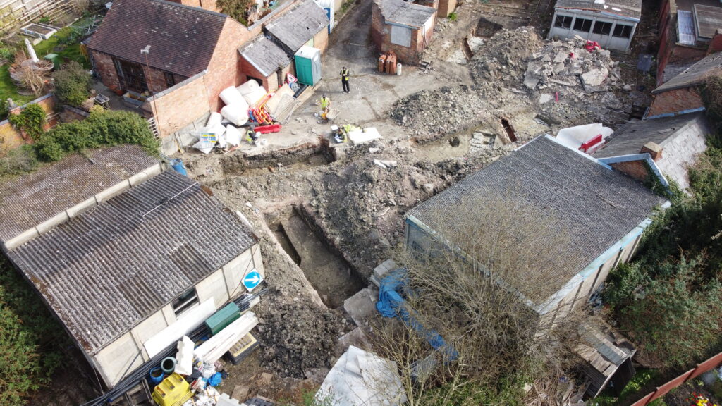
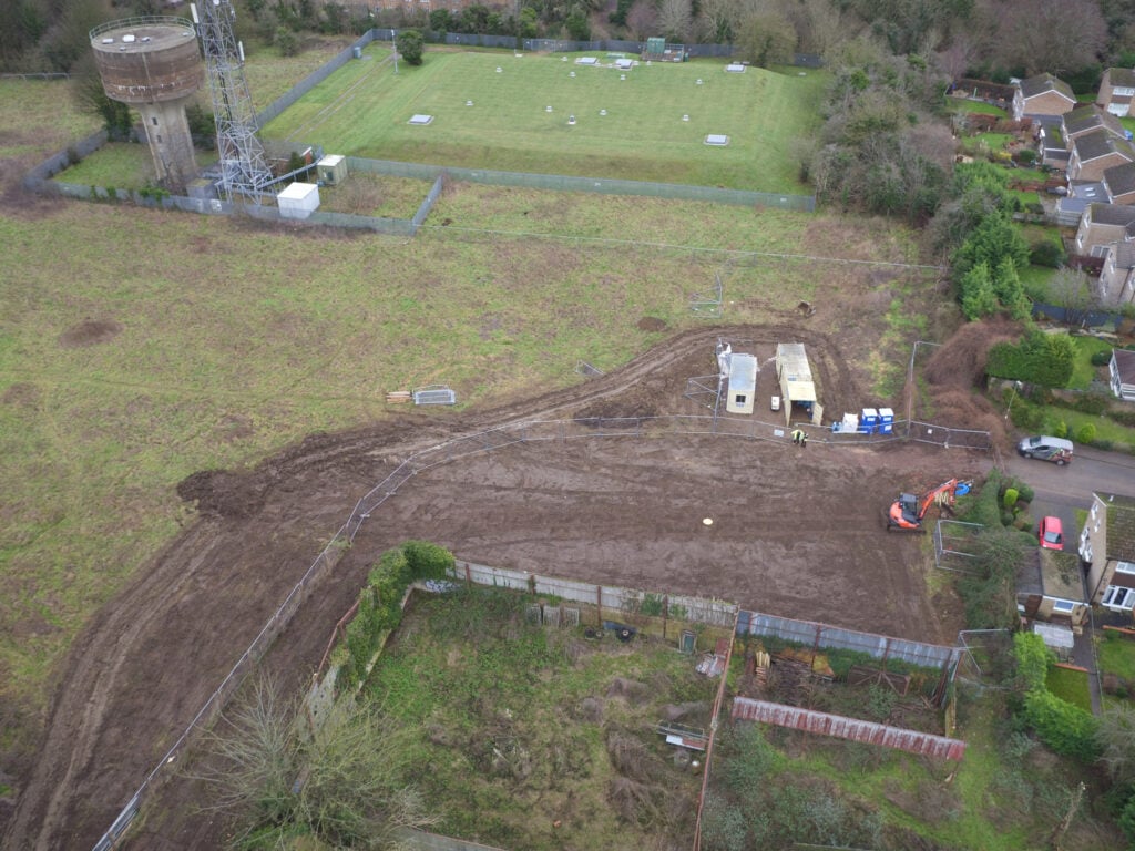
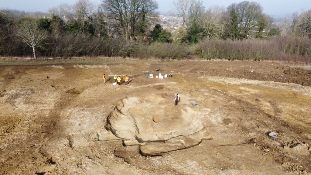
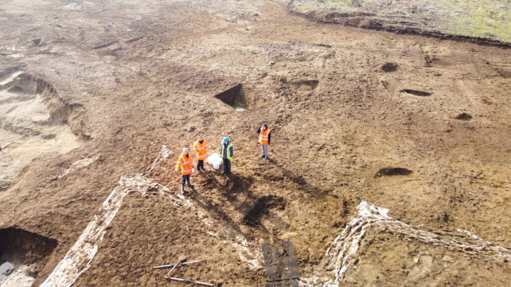
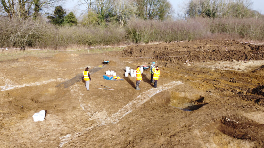
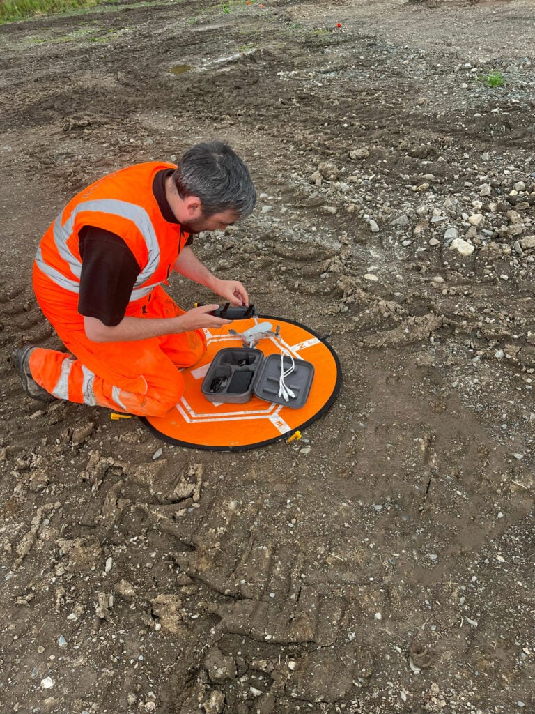
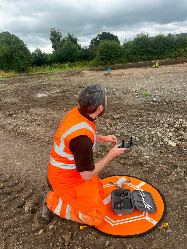
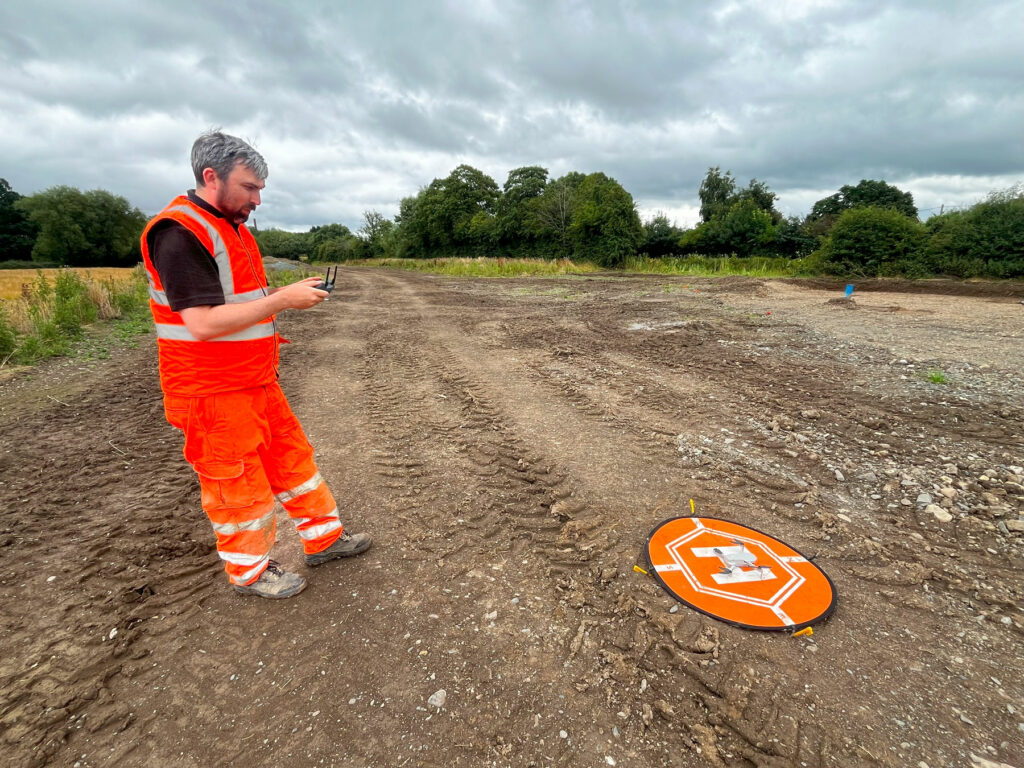
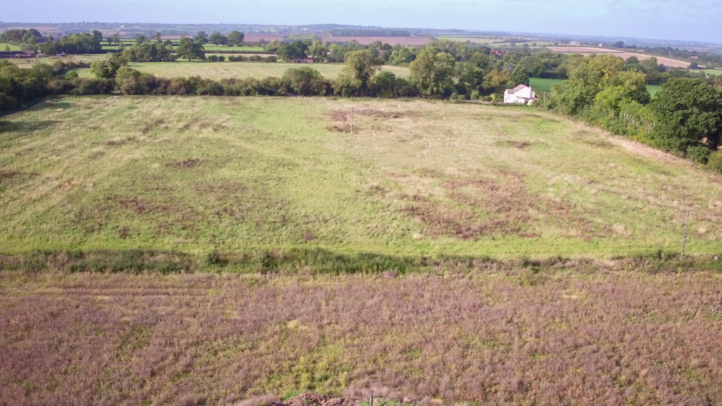
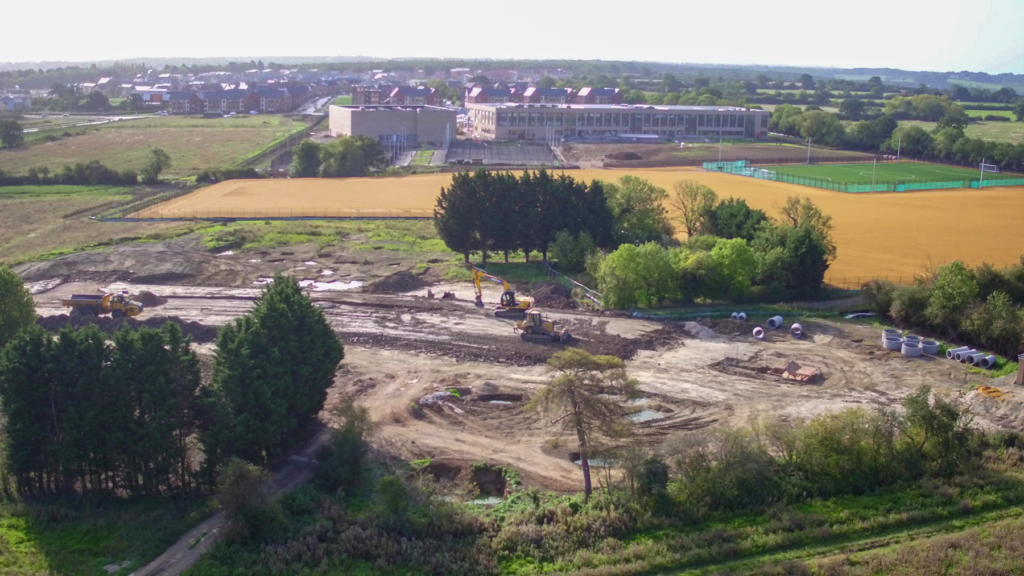
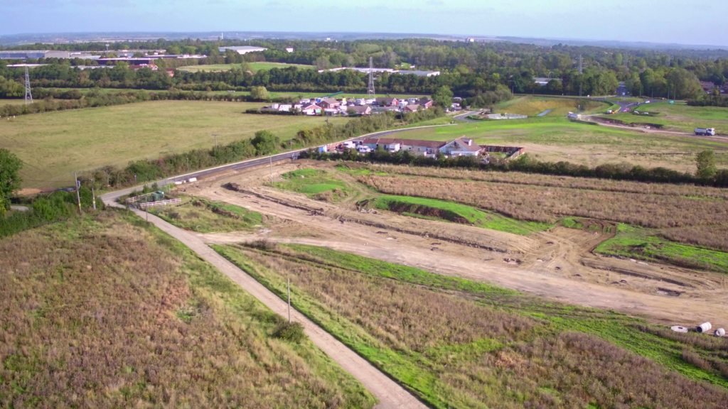
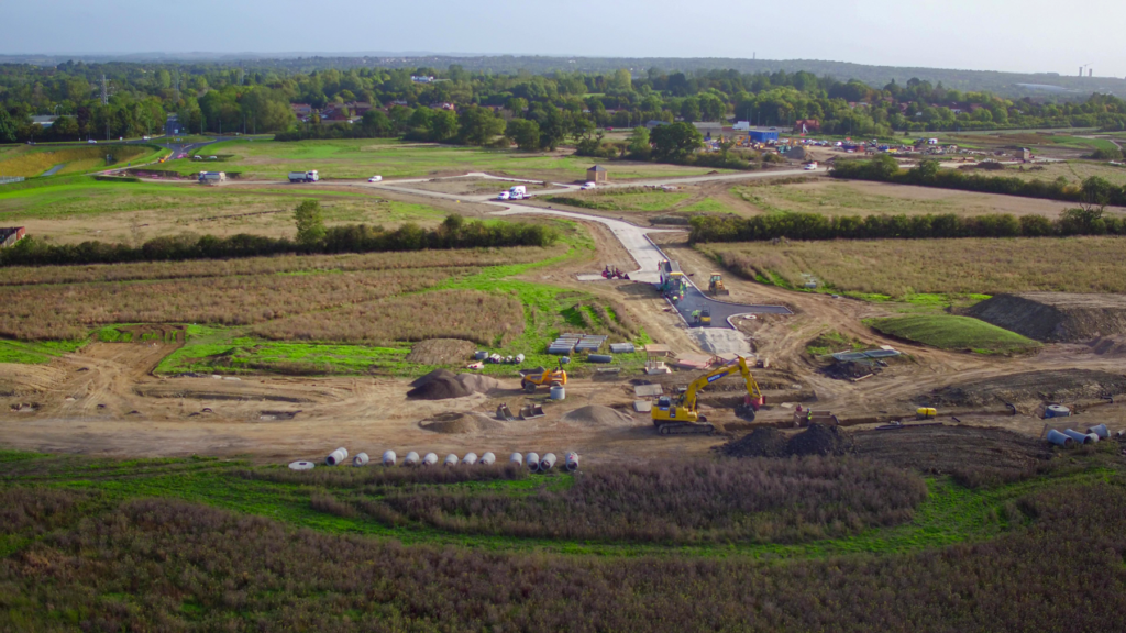
We routinely fly UAV (Drone) over a site or landscape to capture a sequence of striking aerial photographs or video footage for presentational purposes and for precision mapping of excavated features. A Drone may also be employed to inspect otherwise inaccessible parts of buildings or landscapes.
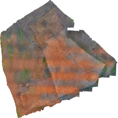
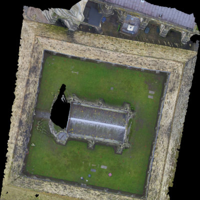
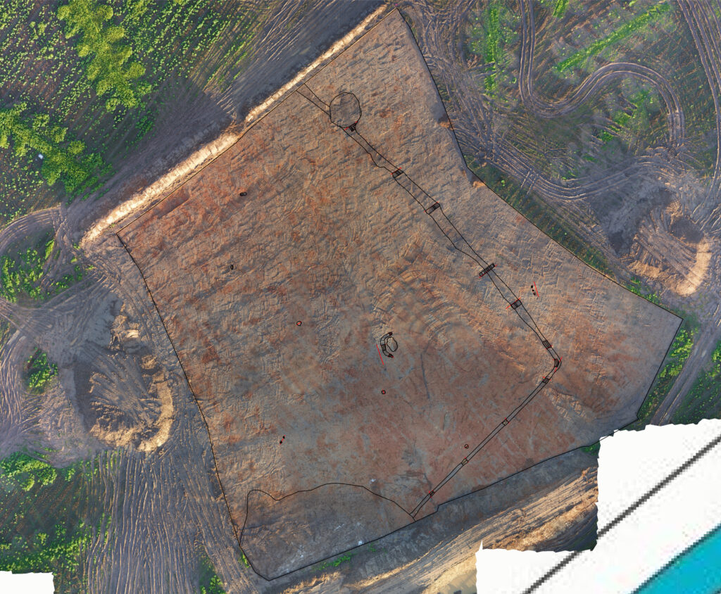
Aerial data capture typically uses downward-facing sensors with an RGB camera used to replicate human vision, although LIDAR and multispectral cameras can also be used. The area is photographed several times from different angles and each image tagged with coordinates using the GPS from the UAV controller. The GPS coordinates given can be further enhanced through the use of targeted points placed on the ground and recorded using survey-grade GPS with 3mm accuracy.
The images can then be run through photogrammetry software to give detailed 2D and 3D maps.
Unlike manned aircraft or satellite imagery, UAVs (Drones) can be flown at much lower altitudes, including inside structures, making the creation of high-resolution, accurate date much faster and less expensive, with the added benefit of being independent of atmospheric conditions.
There is a mixture of terminology used to reference UAV surveys. They can also be known as “Archaeological Aerial Survey” or “Aerial Survey”, which is more specific to our field of work.
What Happens Next?
UAVs (Drones) capture aerial images from which detailed plans can be generated for use in archaeological reports while video-based flyovers enliven presentations whether to clients, councils or other bodies or directly to the public.