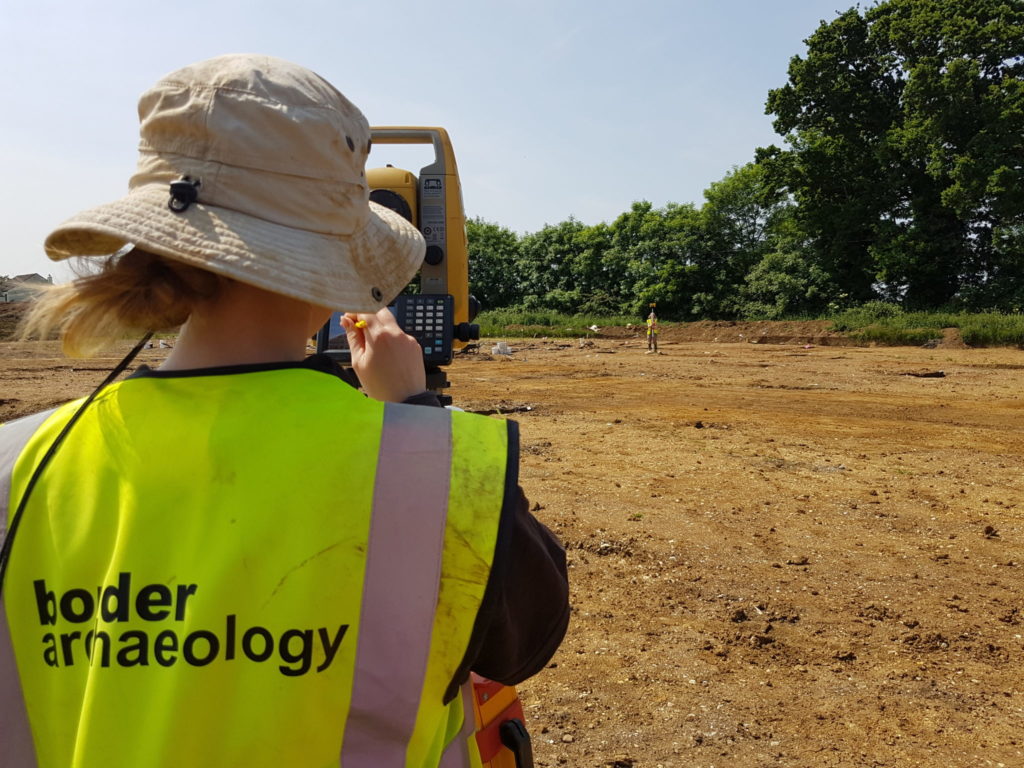
Archaeological Survey
What is an Archaeological Survey?
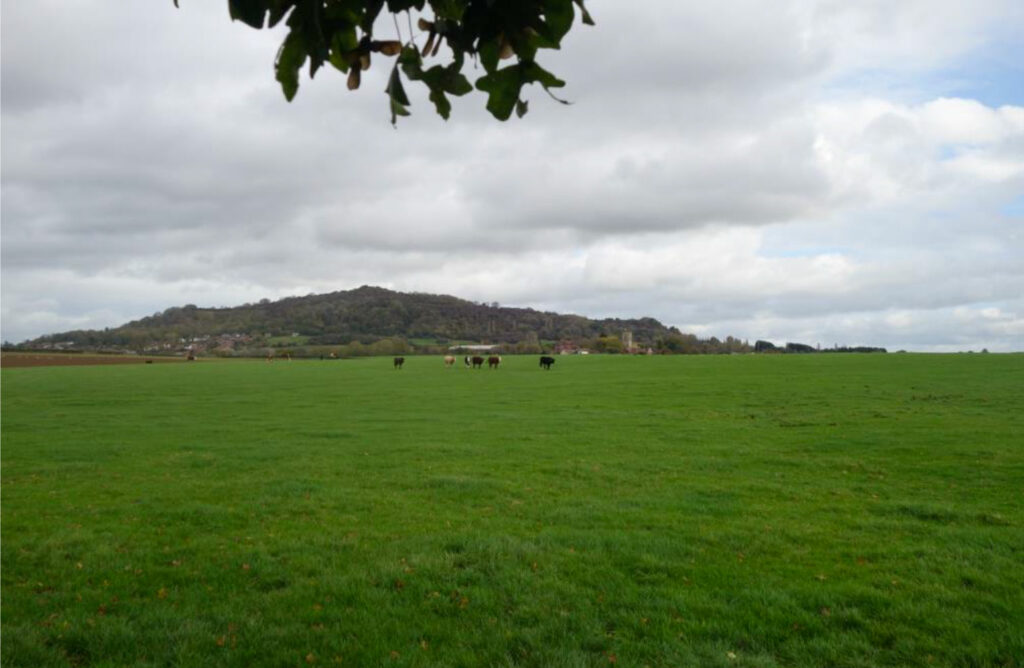
Landscapes are the stage on which human stories unfold and many retain traces that can be read without ‘putting a spade in the ground’.
Remains may survive above ground in the form of buildings, monuments or simply as ‘humps and bumps’ visible to the eye whilst others lie buried beneath the surface and can be seen only using geophysical survey.
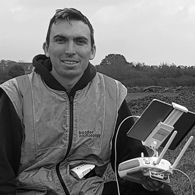
Archaeological Aerial Survey
What is an Archaeological Aerial Survey?
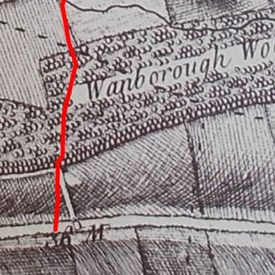
Features imperceptible on the ground may become visible when viewed from the air. Aerial photography is a well-established method that uses the effects of shadow to reveal slight differences in ground level and variations in soil colour or the density of crop growth to indicate possible buried features such as walls and ditches. We are able to carry out aerial survey using our drone.
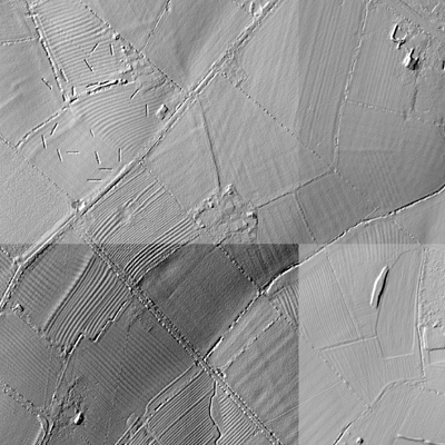
LiDAR is a more recent technique that bounces a laser beam fired from an aircraft off the ground in pulses and calculates the return time to reveal any slight undulations in the terrain that may represent archaeological features.
Fieldwalking Survey
What is Fieldwalking?
Fieldwalking offers a rapid non-invasive form of evaluation based on the principle that artefacts from buried sites may be brought to the surface by ploughing or naturally as a result of erosion. By walking a site systematically either in measured transects or within a grid, finds such as flint and pottery can be accurately located using GPS to build up a picture of human activity across the site with any concentrations potentially denoting sub-surface remains.
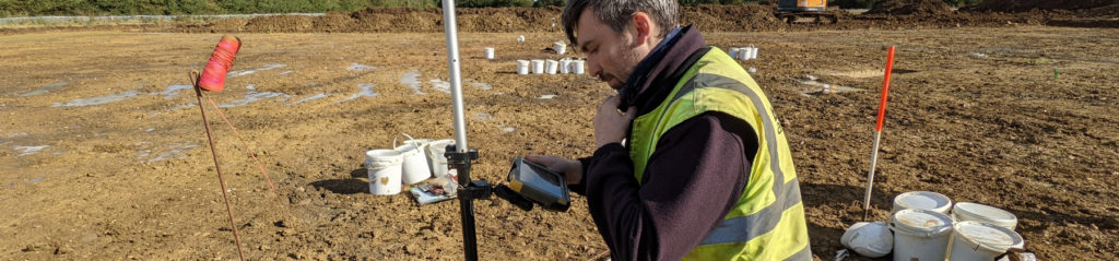
Geophysical Survey
What is a Geophysical Survey?
Geophysical survey offers a rapid non-intrusive but not wholly reliable method of detecting potential sub-surface archaeology. Techniques include magnetometry, resistivity, magnetic susceptibility and ground penetrating radar, each having a particular strength dependent on the underlying geology, soil conditions and feature type.
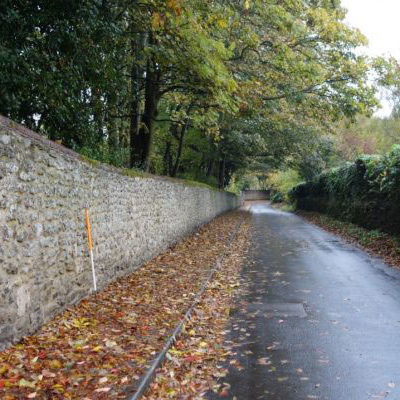
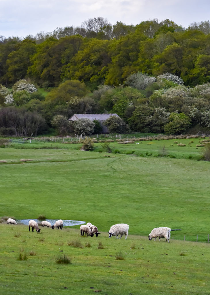
Walkover Survey
What is a Walkover Survey?
A Walkover Survey comprises a visual reconnaissance of a specific area or landscape where development is proposed, e.g. a water or gas pipeline, to identify visible features of archaeological or historical significance such as earthworks (e.g. ridge and furrow) or field boundaries.
As a result of the Walkover survey, visible features of archaeological interest will be identified which may assist in informing appropriate mitigation measures in advance of the proposed development.

What Happens Next?
An Archaeological Survey is generally a precursor to invasive field investigation such as borehole survey, test-pitting, trial-trenching or excavation.