Walkover Survey
Walkover Survey views the landscape as a record of people’s lives across the millennia of archaeological time.
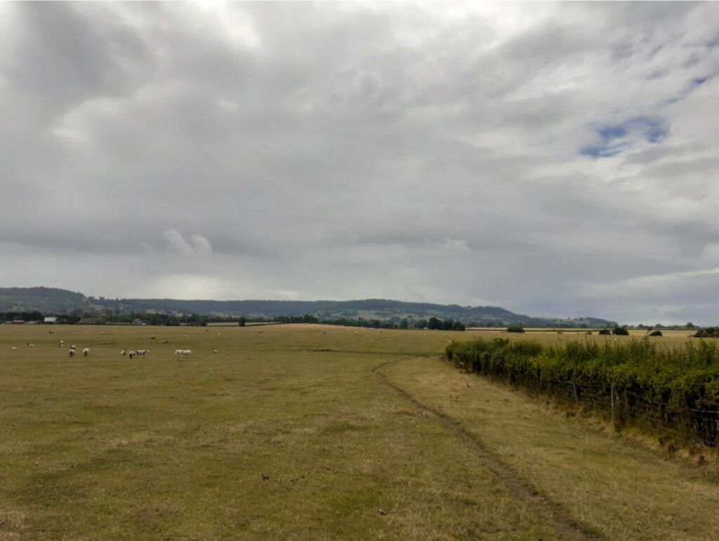
Usually undertaken in advance of fieldwork, walkovers examine the ground systematically within a specified area of archaeological potential for evidence of surface features, the ‘humps and bumps’ that document human actions and build the backdrop to daily life as it was lived in the past.
Indicators of human activity may include old field boundaries, patterns of ridge and furrow left by the plough or tree-planting and earthworks representing anything from overgrown walls, an old pond or medieval motte to a Bronze Age barrow or Iron Age hillfort. More ephemeral features such as prehistoric campsites or temporary settlements may only survive as below ground traces and will not be visible during the survey, although fieldwalking over ploughed land (see below) can be used to record surface artefact scatters denoting human activity ‘hotspots’.
Often used in conjunction with historic maps, aerial photographs and LIDAR, the Walkover Survey records features on a plan and locates them using a handheld GPS, camera and pro-forma record sheets but can also employ a variety of sophisticated survey techniques involving the use of GPS and/or Total Station equipment, as well as drone technology.
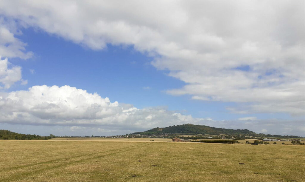
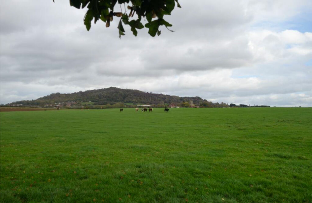
A wider landscape perspective may also be taken to prospect for hitherto unknown archaeological sites.
Link to view video
What Happens Next?
The Walkover Survey is often undertaken to inform desk-based study and any subsequent archaeological work.