

Archaeological Fieldwork, Aconbury Woods
A programme of archaeological works, in the form of desk-based assessment and archaeological evaluation and excavation, was undertaken during the Ridge Hill Reservoir to Aconbury Water Pipeline scheme.
In Brief
Archaeological Desk Based Assessment
Archaeological Evaluation
Archaeological Excavation
Geoarchaeology
Key Points
- From the Archives
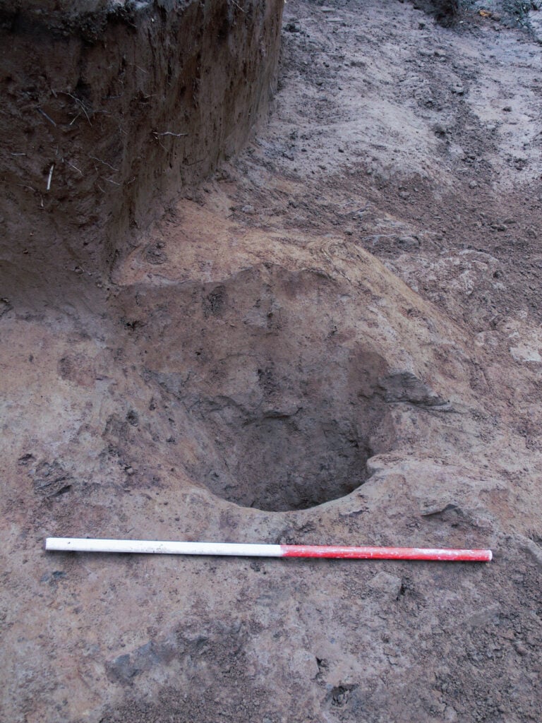
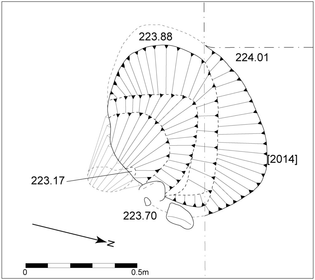
- Earliest evidence of activity was a sub-circular feature which appeared to be of anthropogenic origin, possibly a stake-hole
- OSL dating of a core sample from the upper level of the colluvial deposit yielded a date of AD 525 ± 250
- OSL dating of a core sample taken from a bank on the upper trackway revealed a date of AD 1300 ± 150
Summary
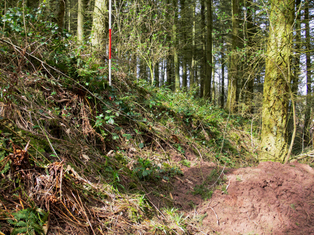
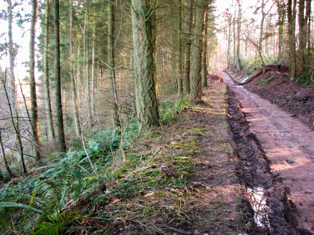
Border Archaeology was instructed by Laing O’Rourke to carry out a programme of archaeological work in respect of a section of mains water pipeline extending from Ridge Hill Reservoir to Aconbury Reservoir. It followed a section of trackway running along the eastern side of Aconbury Woods and approximately 350m east of the eastern extremity of Aconbury Camp Iron Age hillfort.
The specific aims of the archaeological programme of works were:
To identify the date, construction method and probable function of the principal bank situated on the southwestern side of the trackway by means of excavation and the scientific dating of deposits;
To produce a permanent record of the bank by means of earthwork survey and standard archaeological recording methods;
To establish whether the principal bank and the less substantial bank on the northeastern side of the track are linked by a ditch and, if so, to establish the depth and profile of the ditch;
To identify, if possible, the relationship between the principal bank and a flight of terraces running upslope from the rear of the bank towards Aconbury Camp;
To identify, if possible, evidence for potential Iron Age extra-mural activity associated with Aconbury Camp.
Results
This programme of works revealed a series of deposits and features relating to several phases of activity on the site, possibly dating back to the prehistoric era.
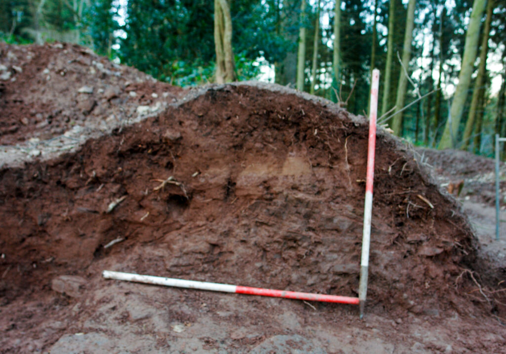
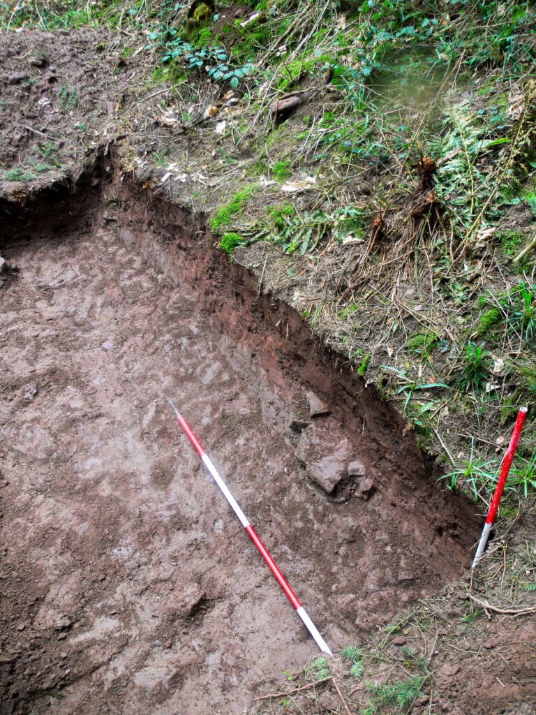
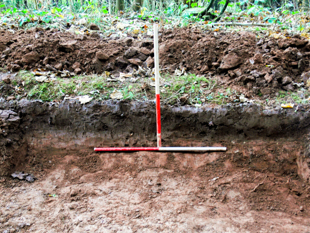
The earliest evidence of activity identified was a sub-circular feature, which appeared to be of anthropogenic origin, possibly a stake-hole, cut from a buried soil horizon that immediately overlaid the natural bedrock. This buried soil horizon and stake-hole were overlaid by substantial colluvial (i.e. hillwash) sediments, which formed what has been characterised as a ‘plateauedge deposit’.
Dating evidence for the formation of the plateau edge deposit was obtained by means of Optically Stimulated Luminescence (OSL) dating of a core sample from the upper level of the colluvial deposit, which yielded a date of AD 525 ± 250. This implies that this substantial colluvial deposition probably began at some point in the prehistoric era and accumulated over a long period. Moreover, the sub-circular stake-hole feature and associated buried soil horizon are likely to be of prehistoric date.
The exact cause of the colluvial accumulation is unclear, but it appears to represent a significant destabilisation of the hillside, probably resulting from several major episodes of deforestation, possibly caused (in part) by clearance for, and construction of the nearby Iron Age hillfort of Aconbury Camp. However, other significant episodes of tree clearance for conversion to arable and pasture are documented within the vicinity of Aconbury Woods during the medieval and early-post medieval periods; these may also have contributed to the build-up of this plateau-edge deposit.
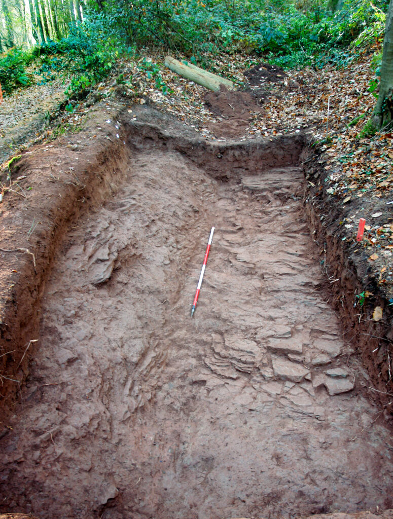
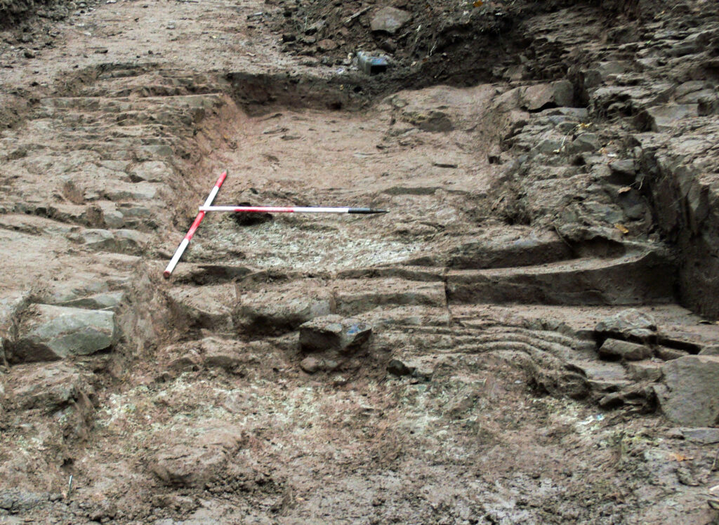
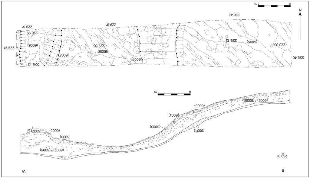
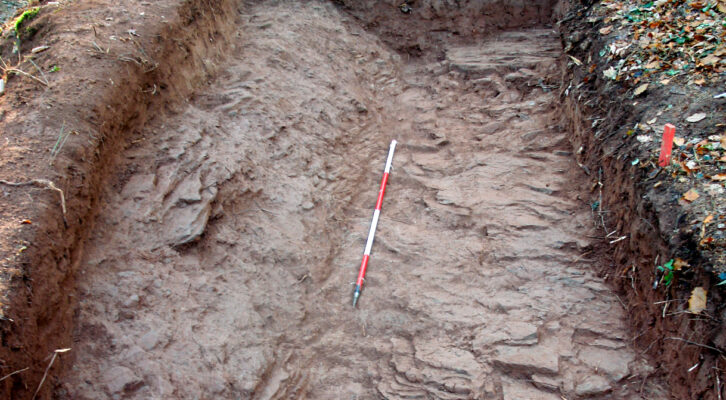
The excavations revealed evidence of a routeway established on top of the western slope, roughly parallel with the main (lower) trackway. At times, the routeway seems to have utilised the plateau-edge deposit as a convenient platform. In Trench 1, however, it appears that the routeway was formed by hollowing out a gully into the natural bedrock, which appears to have been associated with the formation of a stony bank to re-define a boundary. This upper routeway appeared to have been used for pedestrian or livestock access, whereas the main (lower) trackway displayed evidence of deep rutting caused largely by horse- or ox-drawn transport over a long period.
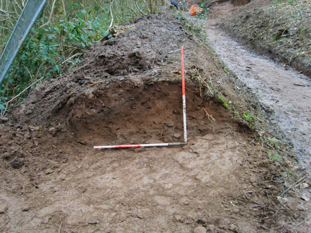
OSL dating of a core sample taken from a bank established on the eastern side of the upper routeway in Trench 2 yielded a date of AD 1300 ± 150, implying that the routeway was already in existence before this bank was established, probably by the nuns of Aconbury who were engaged in woodland clearance and enclosure during the 13th – 14th centuries.
Topographical evidence also indicates a likely medieval origin for the lower trackway. The somewhat irregular zigzag alignment of the trackway, the southern half running N-S and then sharply turning NW, before abruptly striking to the NE, suggests that it follows the line of an ancient woodland boundary, probably of medieval origin, delineating the eastern limits of Kings Held Wood, a long-established area of woodland within Aconbury forest probably enclosed by the mid- 14th century.
The upper routeway fell out of use by the early 19th century, certainly before 1852, as it is not shown on the Aconbury estate map of that date, which shows a clearly defined bank defining the western edge of the main (lower) trackway. A phase of later activity, probably dating from the mid-19th century, was represented by the widening of the main (lower) trackway and the establishment of a tree-lined bank along its eastern side, which was probably associated with an extensive programme of re-planting in Aconbury Woods undertaken by Guy’s Hospital from the 1830s onwards.