

Archaeological Observation: Victoria Street to Trinity, Bristol
A programme of archaeological works, in the form of desk-based assessment and archaeological observation, was undertaken during the Victoria to Trinity mains replacement scheme in central Bristol
In Brief
Archaeological Desk Based Assessment
Archaeological Observation
Key Points
- From the Archives
- Footings of masonry walls were identified in three pits
- The remains of a deep, rough-hewn masonry culvert were encountered at the crossroads of Old Market Street, Midland Road, West Street and Lawford’s Gate
- At the junction of Lamb Street and Wade Street, the remains of an in-filled cellar of 18th or 19th century date were identified
- Possible evidence of industrial activity was revealed along Pennywell Road, represented by several well-stratified deposits containing vitrified fuel waste, charcoal and clinker
Summary
Border Archaeology was instructed by Bristol Water plc to carry out a programme of Archaeological Observation during the water mains replacement scheme from Victoria Street to Stapleton Road, Bristol.
The aim of the Archaeological Observation was to locate and record any archaeological finds, features or deposits within the ground works area and to confirm that no impact on the archaeological resource occurred during the course of the ground works without the implementation of a programme of archaeological recording.
The route of the scheme extended for an approximate distance of 2.25 km from the junction of Victoria Street and Counterslip to the junction of Stapleton Road and St Mark’s Road and passed through two Conservation Areas designated by Bristol City Council, namely Redcliffe and Old Market. The majority of the scheme was identified as having a High archaeological potential for medieval and post-medieval archaeology, particularly focusing on the area from Passage Street to the south of the medieval church of SS Philip and Jacob, continuing along Unity Street and Midland Road to Lawford Street.
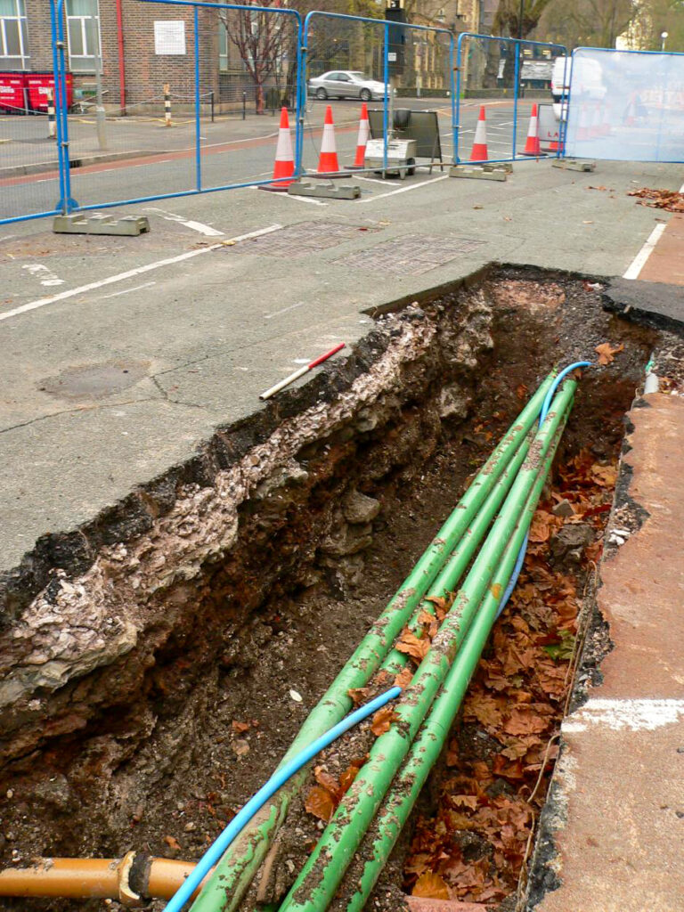
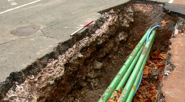
There were 29 access pits excavated along this route, to varying depths and widths, as required to expose the main.
Results
Based on the results of a detailed archaeological assessment of the study area previously undertaken by Border Archaeology, it was identified that the pipeline route extended through an area of Moderate to High archaeological sensitivity within the medieval suburb of Redcliffe and Temple and along the southern and eastern fringes of the medieval suburb of Old Market in close proximity to the line of the ‘Great Ditch’, dug in the late 12th / 13th century to defend the Old Market suburb. All the pits exhibited evidence of heavy disturbance by late 19th / 20th century road construction works and service trenching; however, significant archaeological remains were identified in six of the pits excavated.
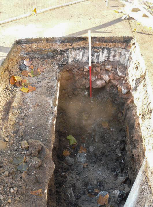
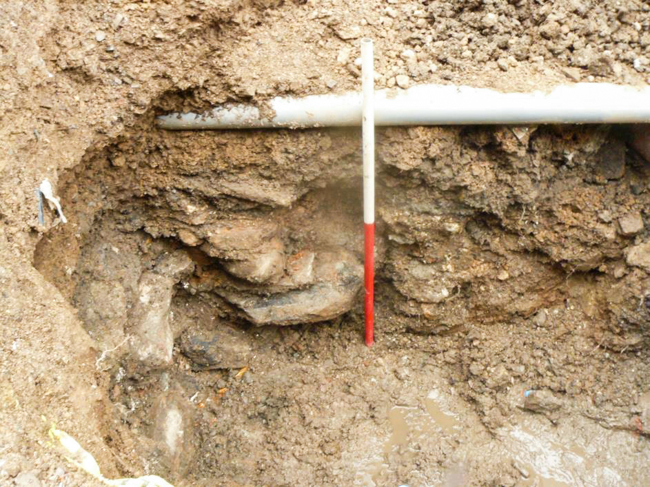
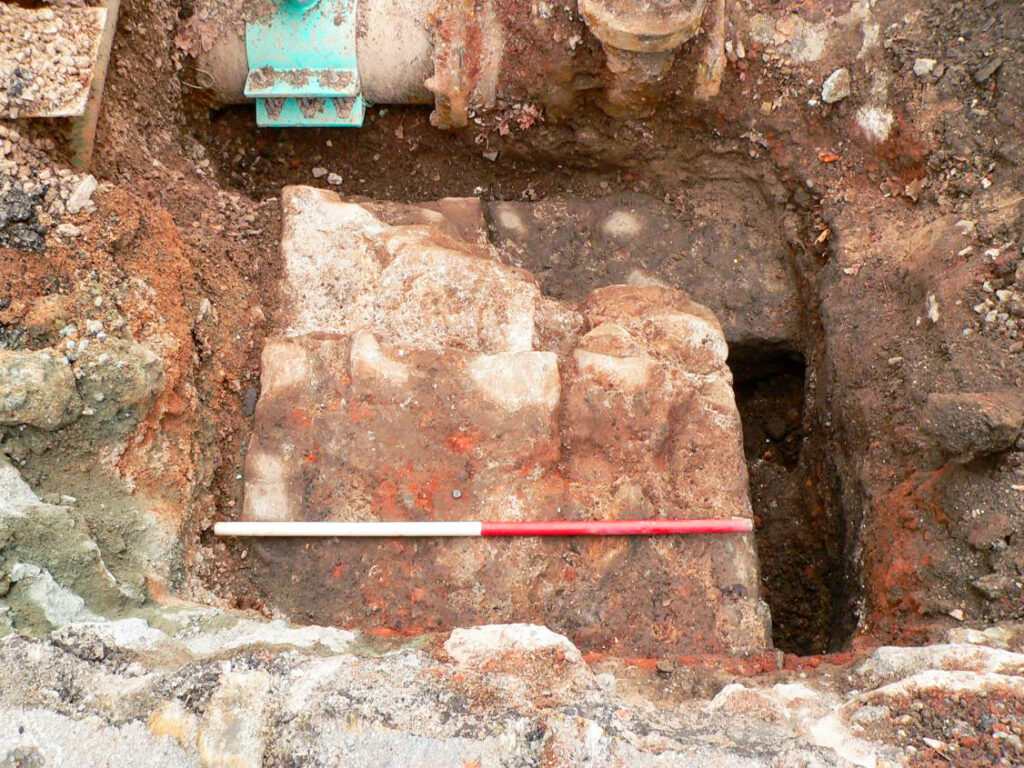
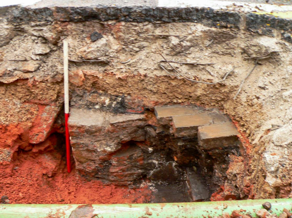
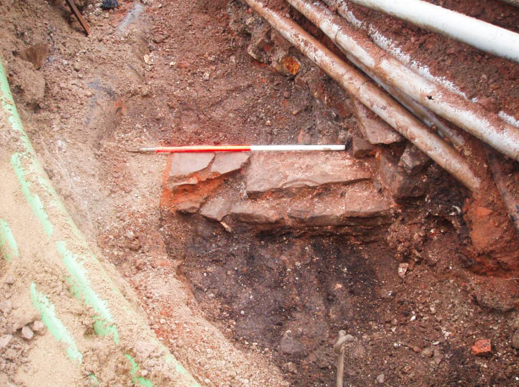
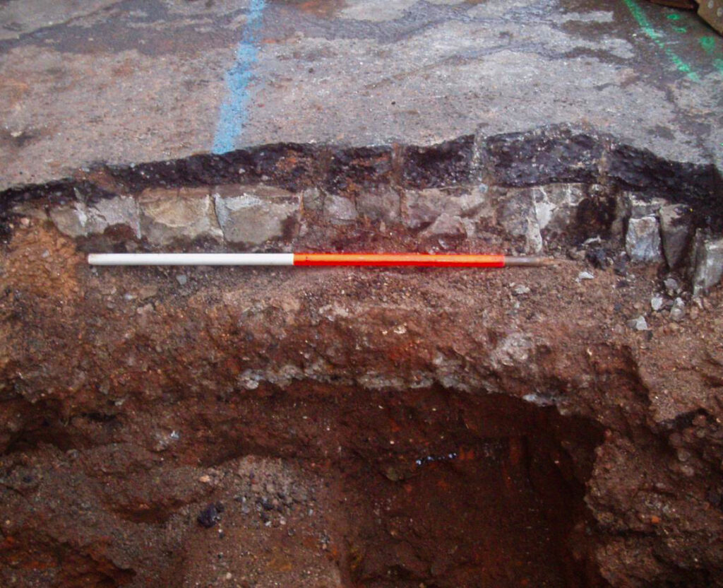
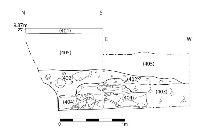
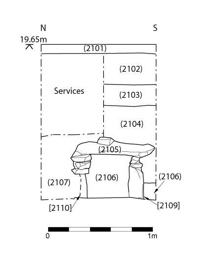
The footings of masonry walls were identified in Pits 4 (close to the junction of Temple Street and Counterslip), 7 (on the south side of Passage Street) and 9 (at the junction of Narrow Plain with Temple Way).
An irregularly coursed, un-mortared Pennant sandstone structure, appeared to represent the footings of a wall of late medieval or early post-medieval date, situated to the rear of a former tenement on the western side of Temple Street which was demolished in the late 19th century.
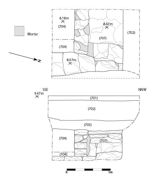
Within Pit 7, two sandstone masonry walls were identified, which appeared respectively to represent an internal and an external wall associated with an elongated block of properties formerly located on the southern side of Passage Street, extending east-west from the junction with Cheese Lane/Tower Street to the river, which appears to have been largely demolished in the early 19th century.
Within Pit 9, three substantial Pennant sandstone walls, were revealed, probably associated with No. 8 Narrow Plain, a house of possible late 17th or early 18th century date formerly located on the southern side of Narrow Plain, which was removed for the widening of Temple Way in the late 1960s.
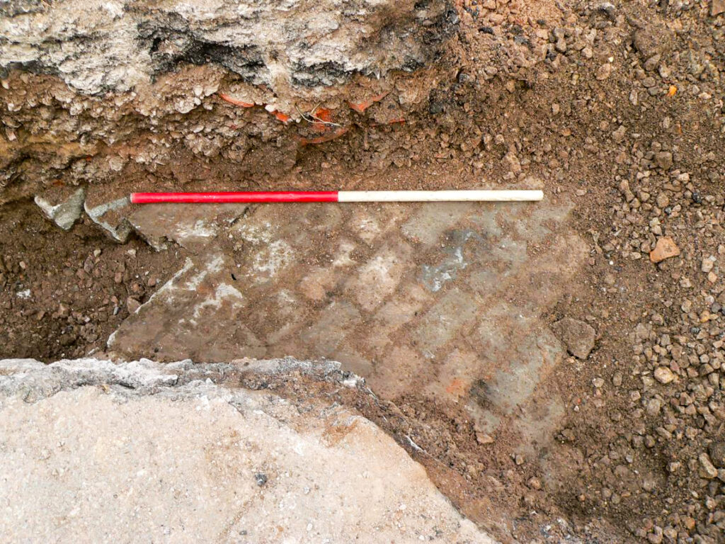
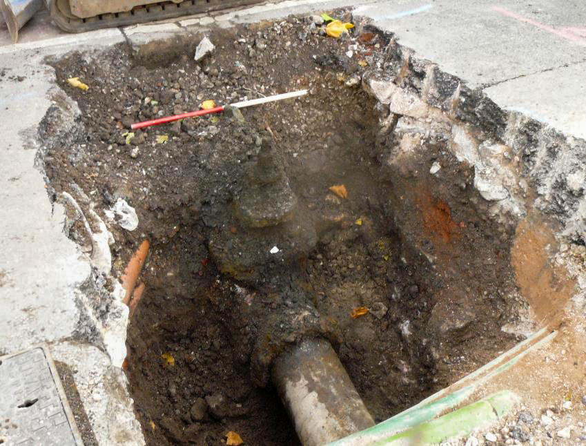
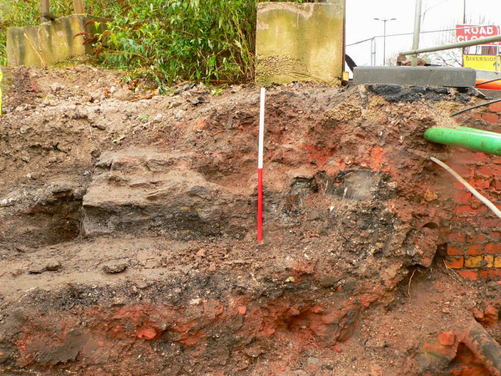
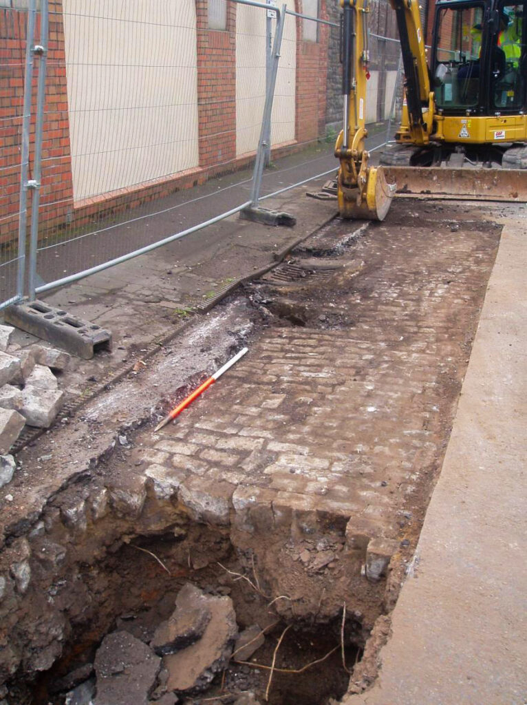
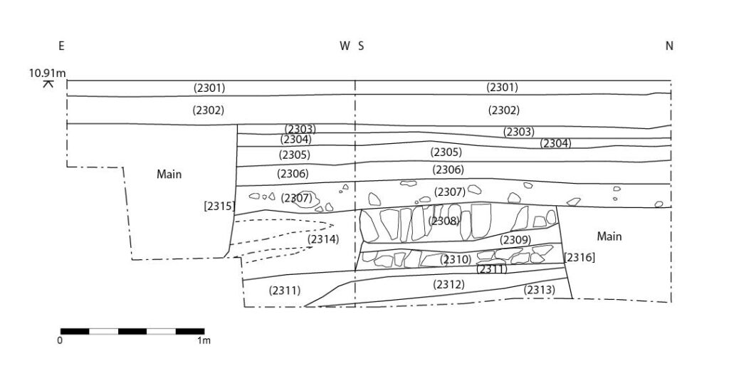
In Pit 21, excavated at the crossroads of Old Market Street, Midland Road, West Street and Lawford’s Gate, the remains of a deep, rough-hewn masonry culvert were encountered, while in Pit 25, dug at the junction of Lamb Street and Wade Street, the remains of an in-filled cellar of 18th or 19th century date were identified.
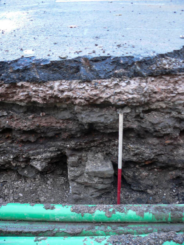
Possible evidence of industrial activity was revealed in Pit 23 (Pennywell Road), represented by several well-stratified deposits containing vitrified fuel waste, charcoal and clinker, representing evidence for glass production or working and possibly copper smelting. It was thought that these deposits might represent evidence of in-situ glassworking activity, possibly of early post-medieval date; however, it appears more likely that it represents imported levelling material associated with the construction of a terrace of houses along the W side of Pennywell Road in the early 19th century.