Archaeological Programme of Works, Devon
We were commissioned to carry out a programme of archaeological work, comprising a desk-based appraisal, standing building recording survey (to RCHME Level 1-2) and archaeological watching brief in respect of the proposed conversion and extension of existing outbuildings to create three new dwelling.
In Brief
Programme of Archaeological Works, Standing Building Recording Survey, Desk-based Research and an Archaeological Watching Brief
Key Points
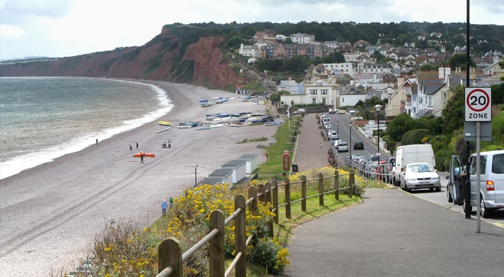
- The development area lies within the core of the historic settlement of Budleigh Salterton and it was considered that ground works associated with the demolition of the buildings, construction of the new building and the excavation of service runs might have potential to expose archaeological and artefactual material associated with the historic settlement at Budleigh Salterton.
Summary
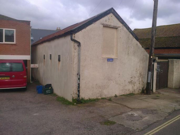
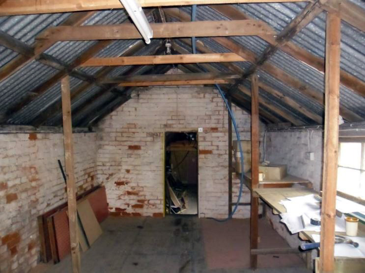
The existing gabled outbuilding with roughcast exterior on the western side of the yard to the rear of No. 13 (referred to as Building A) appears originally to have been erected at some time between 1842 and 1889; it first appears in its present form on the OS 1st -edition map of 1889.
Building A is likely to be contemporary with the existing house at No. 13 High Street, which appears on the basis of architectural evidence to be of mid-late 19th -century date and replaced two earlier dwellings occupying this plot which are shown on the East Budleigh tithe map of 1842.
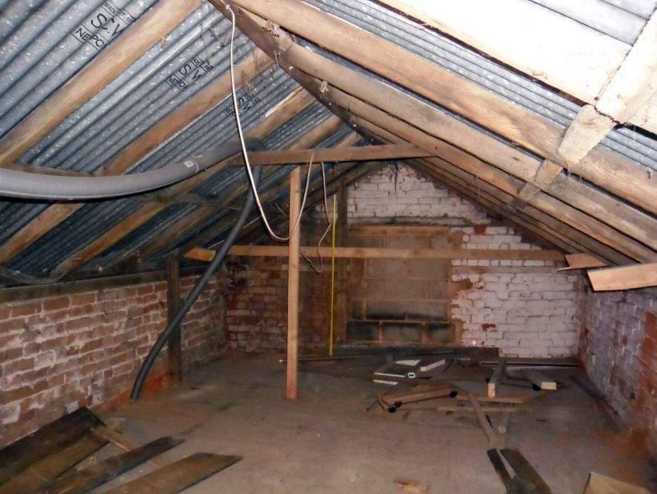
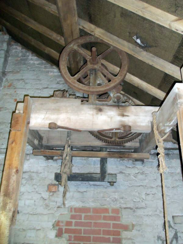
Evidence of several phases of construction and rebuilding were noted, suggesting that Building A was not constructed in a single campaign but would appear to have been built in several phases during the mid-late 19th century.
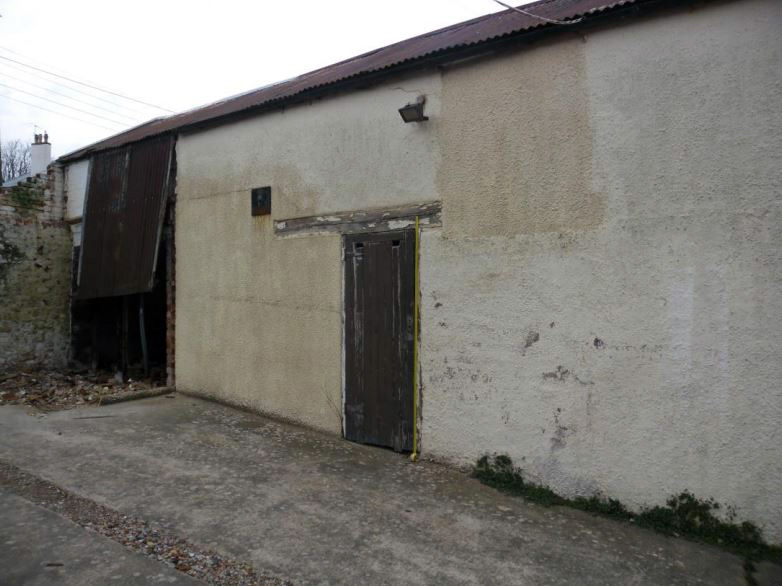
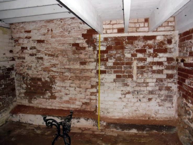
It is possible that the lower stages of the masonry wall defining the S end of Building A may incorporate a remnant of an earlier structure depicted in this location on the 1842 tithe map. The lower stages of the W wall of Building A may also incorporate part of an earlier boundary wall defining the western edge of the plot, the alignment of which is depicted on the 1842 tithe map. It is difficult to assign a secure date to these wall fragments, although a post- medieval origin appears likely.
Documentary evidence shows that the property at No. 13 High Street was occupied by carpenters, a ‘fly proprietor’ (an owner of a fleet of carriages) and a ‘dairyman’ during the mid to late 19th century. From c.1900-1940, both No. 13 and the adjacent property at No. 12 High Street were occupied by a butcher’s shop and premises.
The three-storey rectangular gabled outbuilding on the eastern side of the yard (henceforth referred to as Building B) appears, in its present form, to be of relatively modern date (first shown on an OS map of 1955). However, further investigation suggests that the central and eastern parts of the building probably incorporate fabric from an L-shaped building of probable mid-late 19th -century date to the rear of No. 12 High Street, first shown on the OS 1st -edition map of 1889.
Results
No other significant archaeological features, deposits or finds were identified during the course of this watching brief.