

Archaeological Strip, Map & Sample Excavation, Cerney Wick
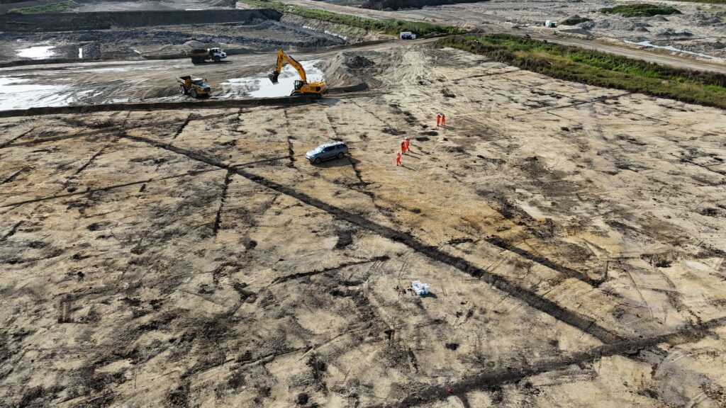
A 33,358 m² quarry phase situated to the southeast of the village of Cerney Wick revealed multi-period activity commencing during the late prehistoric period and extending in to post-medieval times.
In Brief
Key Points
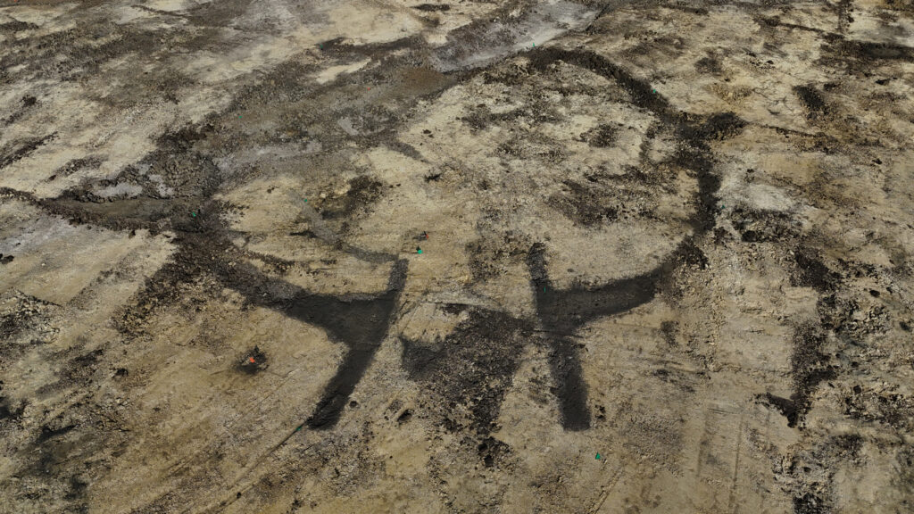
- Two banjo-shaped enclosures from the late prehistoric period
- Second phase of activity occurred in the post-medieval period
- 80 sherds of pottery, some dating from later Bronze Age or early Iron Age
- Broken quern stone from the Romano-British or medieval period
Summary
The quarry is situated to the southeast of the village of Cerney Wick and the phase encompassed an area of c.33,358 m².
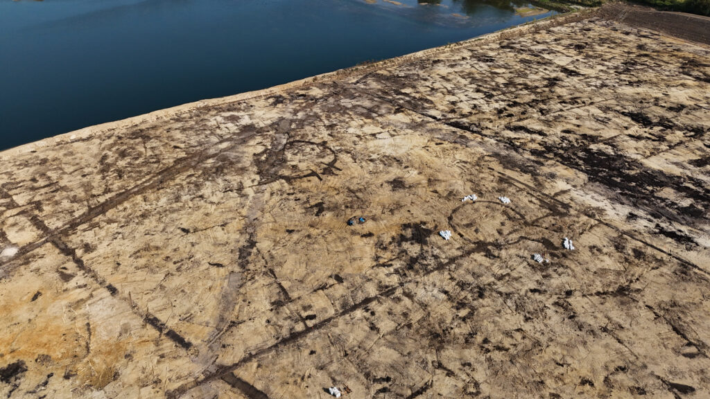
The earliest feature identified was a palaeochannel, which likely formed after the last glacial epoch. However, the initial occupation of the site seems to have commenced during the late prehistoric period with the construction of two banjo-shaped enclosures and their associated features. The second phase of activity occurred in the post-medieval period and was represented by the establishment of numerous field boundaries and drainage ditches/gullies, while several features also remained undated.
The molluscan evidence indicated a likely transitional environment that varied from a damp/swampy open grassland to the wet margins of a small water body during the post-medieval period, and this reflects the general drainage programme of the site. In general, the palaeoenvironmental samples produced a poor abundance of charcoal, which indicated that residual burning was occurring in the wider landscape at the time of context formation, while a small assemblage of carbonised cereal and wild taxa possibly suggests that this was the result of crop stubble burning.
Artefactual evidence included 80 sherds of pottery in an extremely poor condition, with only five of these being diagnostic of the later Bronze Age or early Iron Age; small fragments of lava stone that possibly represented a broken quern stone from the Romano-British or medieval period were also recovered along with a small assemblage of fragmented and weathered animal bone that likely represented discarded domestic waste.
Results
The Strip, Map & Sample Excavation revealed evidence for two prehistoric banjo-shaped enclosures and numerous field boundaries and drainage ditches/gullies of post-medieval date.
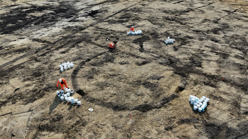
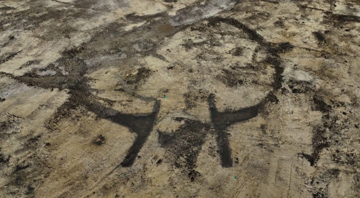
The first phase of occupation took place during the late prehistoric period and the first of the two enclosures was identified towards the WNW site boundary. This was represented by a ditch, which enclosed an area of c.133m² and comprised a penannular ditch with an entranceway to the ESE, which was defined by two linear antennae ditches situated between c.2.80m and 4.20m apart. These had rounded termini and were just over 5m long, with the enclosure ditch as a whole having gently to steeply sloping sides and a concave base, measuring c.0.37m-1m in width and c.0.31m-0.50m in depth. Four post-holes were also identified within the interior of the enclosure.