Drone Survey, Basingstoke
Significant archaeology was identified in a portion of the site and it was determined that further excavation needed to take place in order to fully record the assets of interest.
In Brief
UAV (drone) Survey
GPS Survey
Key Points
- UAV Drone Survey
- GPS Survey
- Focusing on the linear features
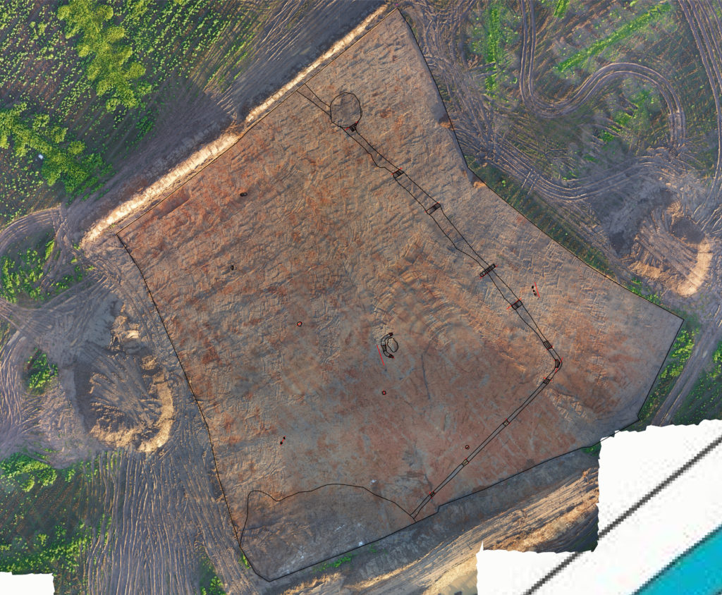
Summary
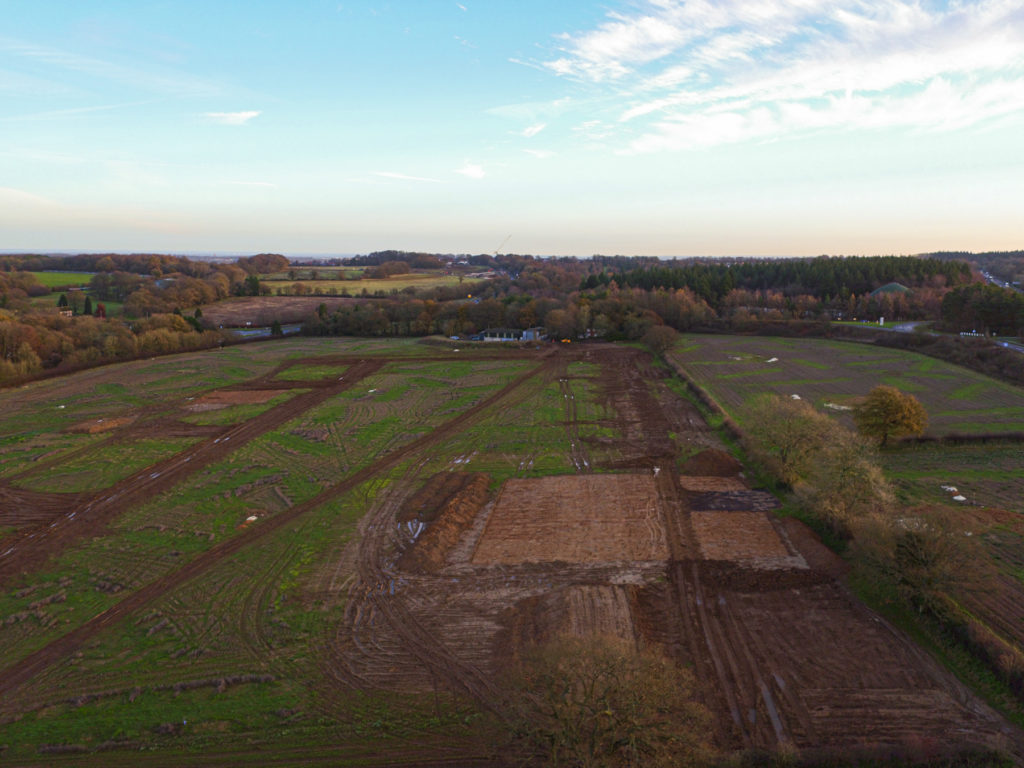
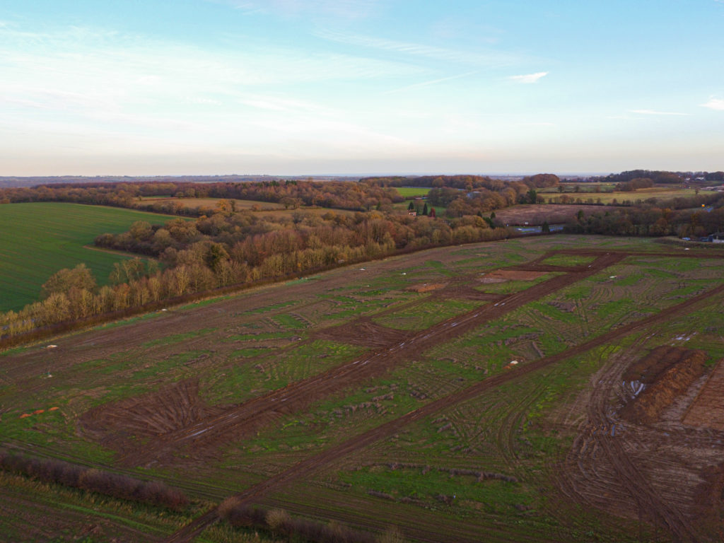
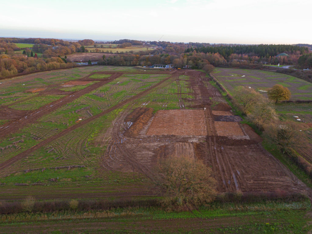
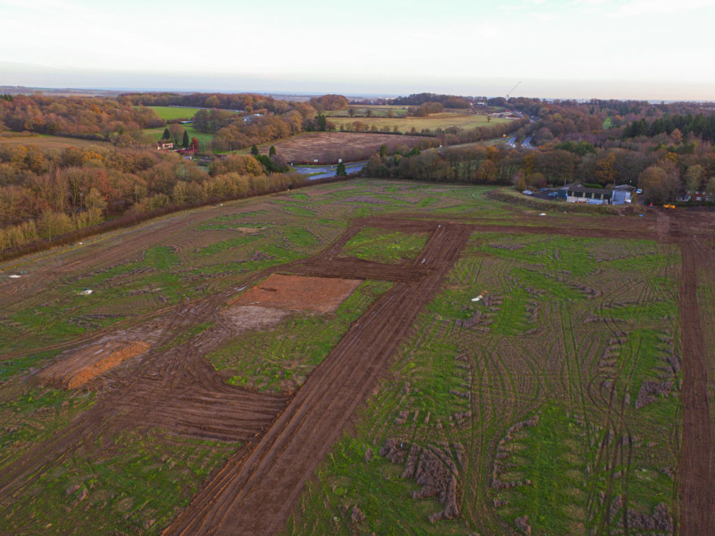
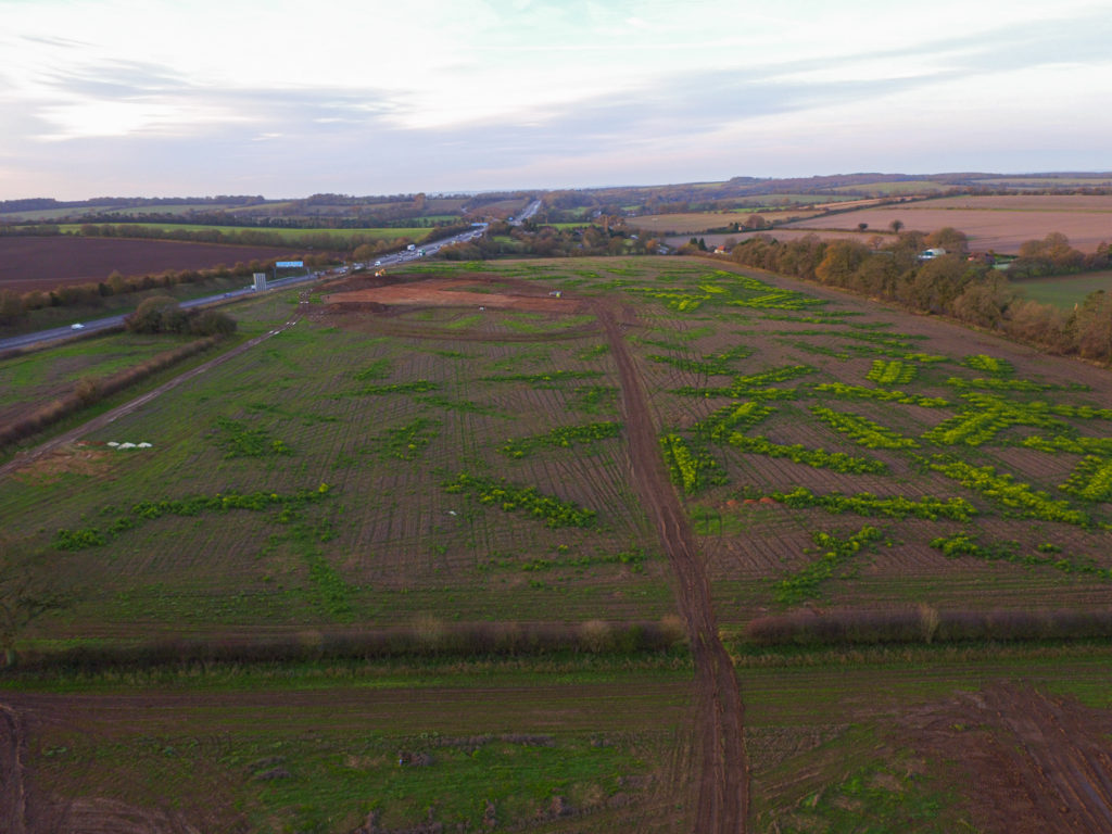
In order to improve the understanding of the archaeological resource and assist in its interpretation, a UAV (drone) and GPs survey was undertaken, focusing on the linear features running from the SW edge to the NE edge of the area.
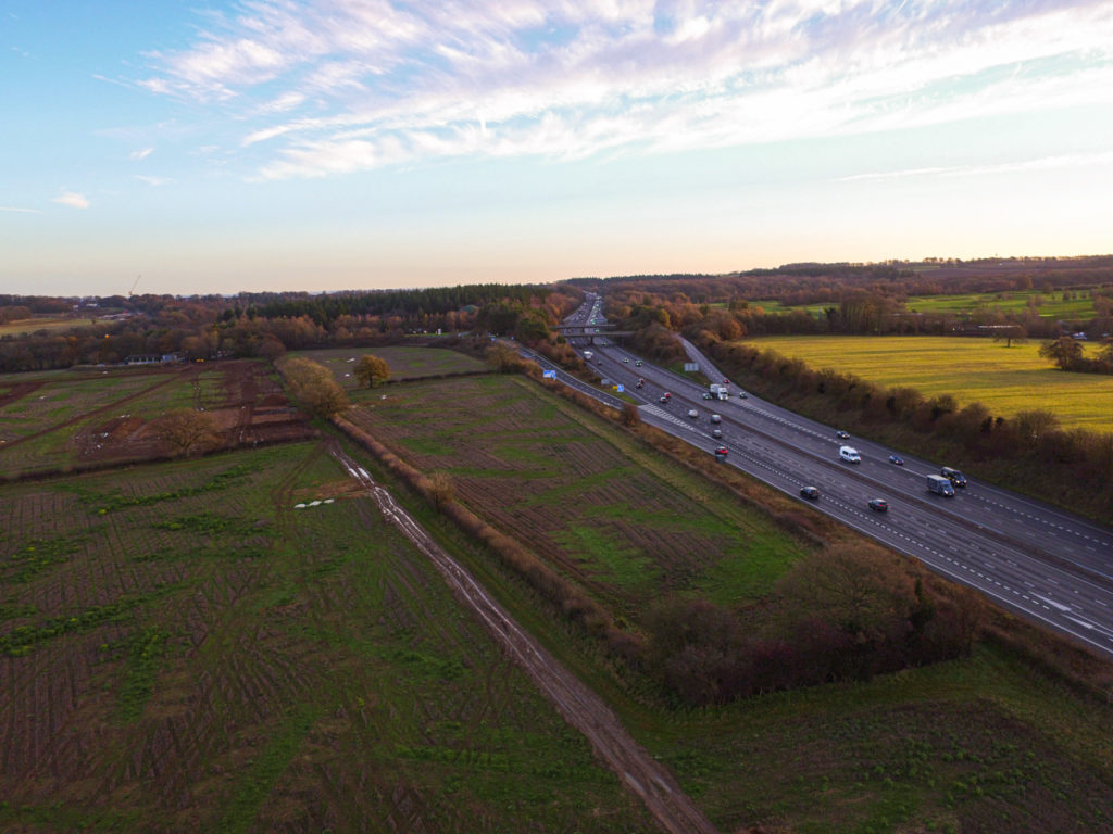
Using OUR DJI Inspire 1, a flight plan was created to fly overhead at 50m elevation, avoiding the motorway located immediately to the south-east of the area, with a spotter to aid the remote pilot as part of the contingency planning.
Results
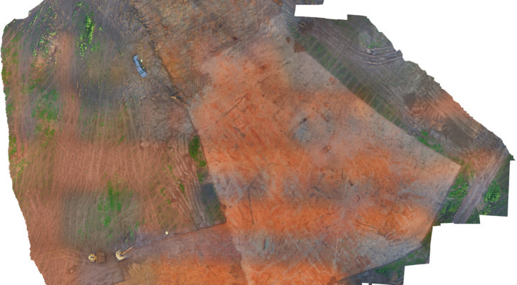
In total, we undertook four flights over the course of three weeks and using the data captured by the UAV, we were able to create an orthophoto which was combined with the GPS survey and analysed in the subsequent excavation report. Furthermore, we were able to produce a Digital Elevation Model which aided the interpretation of the site.