


Stuart Forsythe
Stuart completed a BSc in Archaeology from Plymouth University but enjoyed a varied career before joining Border Archaeology in 2017.
His previous technical experience found him gravitating to archaeological surveying with Total Stations and GPS. He rapidly gained experience in field surveying, post-excavation data processing, photographic rectification, CAD, GIS, and Digital Terrain Modelling. He has helped trial techniques to improve accuracy and efficiency and currently heads Border Archaeology’s surveying team.
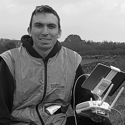
Stuart has recently gained his PFCO (drone licence) and now undertakes UAV (Drone) Survey, aerial survey, aerial photography, and aerial videography. He undertakes detailed 3D modelling and the production of accessible archaeological plans for technical or outreach purposes.
Stuart’s interests include geophysics, flying light planes and studying large archaeological landscape features.